
Jupiter: The Bureau of Land Management’s Outstanding Natural Area Shoreline Stabilization Project
Written by Alex Cotluer
Photography by Alex Cotluer
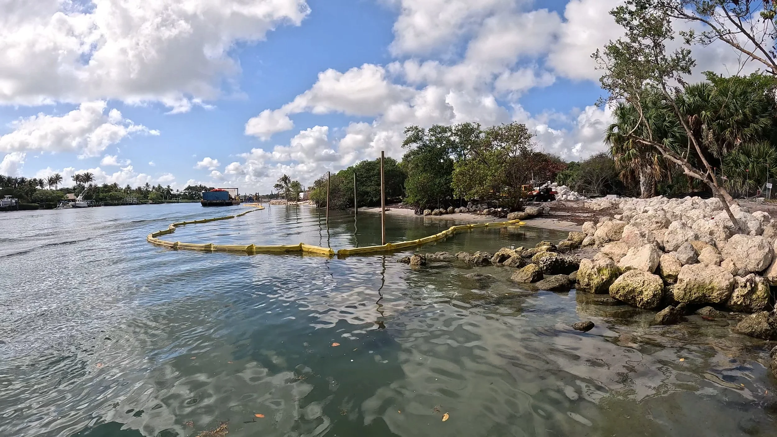
The Bureau of Land Management’s Outstanding Natural Area Shoreline Stabilization project at the Jupiter Lighthouse property is in full swing. Despite years of planning and public input, many are shocked and concerned. The impact we are seeing and what the future of this location holds is worthy of an update.
The initiative is controversial because it touches a place where multigenerational locals spent years jumping from rope swings and climbing the dune. The purpose is stabilization, and the visual transformation has been undeniably jarring, even with an understanding of the long-term vision. The project emphasizes long-term resilience, erosion control, habitat protection, and improved access in response to a growing population. Just a few years ago our sandbars were frequented primarily by small, single-engine boats. Today, multi-engine boats are far more prevalent, and the cumulative thrust of these vessels has significantly altered the sediment dynamics that once kept these shorelines stable.
The terraced wall includes multiple stairs to the shoreline and will soften with native landscaping. A living shoreline just like the one at the south end will extend north past Cato’s Bridge, creating habitat, expanding snorkel opportunities, and limiting the number of boats that can come to shore to just seventeen. A beach recreation area and protective pilings will safeguard the most popular snorkel span at Cato’s bridge. The south end will feature a public boardwalk and a new dock for ferries and water taxis.
Historical analysis showed erosion averaging seven feet per year, with some areas receding even faster. The impact feels heavy, but inaction would be heavier. Growth and change are inevitable; investing in what cannot be replaced is our responsibility. If you want to see this project firsthand from a paddleboard, book a guided tour with me at letspaddlejupiter.com.